|
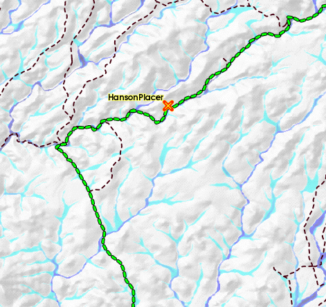
Each FootPrint has two Map Layers for GPS Tracks
and Waypoints.
Download Data from your
GPS unit directly into FootPrints to display your personal
tracks and Waypoints. This has many great uses for the prospector.
Be ready for your next prospecting
trip.
Mark Waypoints in the field for
areas you want to prospect. Download them into FootPrints
and research ownership, claims, water flow etc.
Look for that Paystreak!
Use Waypoints to mark where you found
your Gold. Download these into FootPrints and look for trends.
Leave more time for the hunt.
Review your prospecting waypoints
and tracks to see if there is a quicker way to get there.
FootPrints provides a reminder to you that your
Private GPS sites are displayed on your map.

This symbol will display on your screen and
on any printed map whenever you have your personal Tracks
and Waypoints displayed. We all like to keep a few secrets.
|