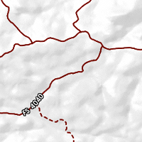
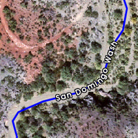
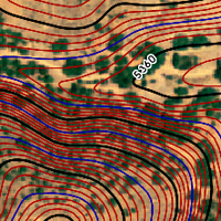
Standard Map Layers
 

Any good map will provide information that clearly tells you where you are.

Prospectors need to know how to get where they are going. And they also need to know what the terrain is going to be like when they get there.

These three layers, Roads, Washes and Contours will help you find your way out into the field and show you what to expect when you get there.

These Map Layers may be displayed over any of the Base Maps. (Ortho, Topo or Shaded Elevation)


Roads

To provide you with the best access to remote areas, we map roads and trails that don't appear on any other map to get you out to old mines and workings.

We scour the Aerial Imagery looking for the old stage and mine roads mapping them for you.

If there is an old mine, there was a road or trail to get there. We help you find it.


Washes

We identify all the main washes and rivers in the area by name. Know which wash you are prospecting. You will know if you are on the "San Domingo" or if you crossed over to "Tub Spring " on the way in.

Many washes in desert areas double as roads for high clearance vehicles when there is no water providing access to even more remote areas.


Contours

Every FootPrint provides three levels of Contours to help you visualize the type of terrain you will encounter in the field.

USGS Topo Map contours are generally shown at 40ft or 20ft intervals. Contours on a FootPrint are displayed at 5 ft intervals.

Displaying all three Layers in this example makes it clear that the gulch is very steep sided. (160 ft in elevation change from the bottom to the top.)