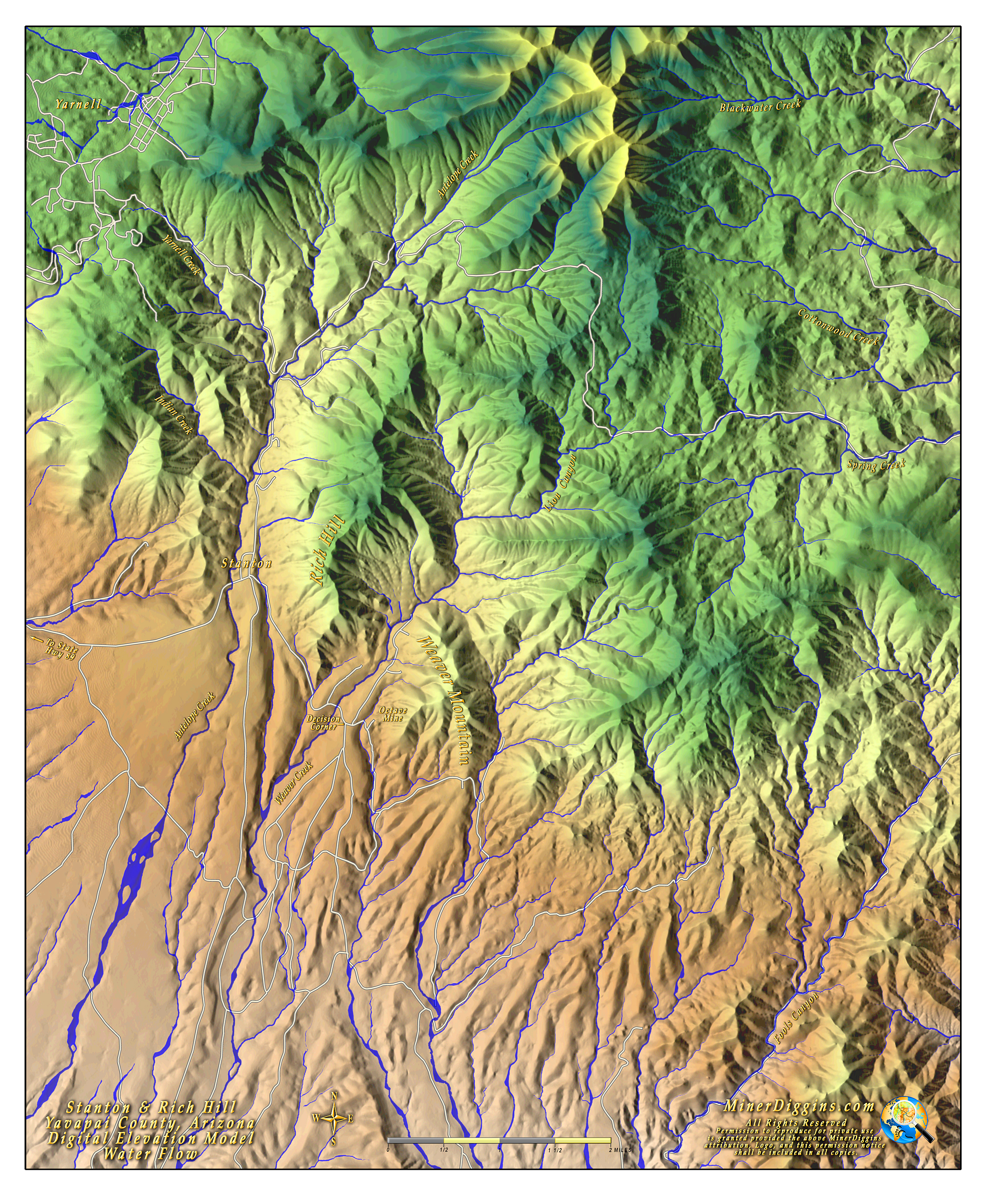
The Stanton, Rich Hill Map
Everyone wants to know their way around Stanton and the infamous Rich Hill. It is by far the most requested map. I knew I had to get around to doing a map of the area soon. And since we are headed up there for the April GPAA Outing, I thought it was a good time to pull something together.
This is a computer generated digital elevation model with an applied water flow overlay. I have also included place names and major roads. While making this map, I really wanted to get detailed and put on the patented lands and the mines and lots of other good stuff. But there is a limit. I'll just have to keep it back for the next one.
If you like the map, please feel free to download it, print it and share it. Please keep the permissions statement intact.
Right Click on the image below to download the Big, High Resolution Map (32" x 38" at 72 dpi) The file is large 6.3M and may take a while to download.
Enjoy
Ruby
See what other maps Miner Diggins has created.